Hi Everyone. Rich Owings had sold the company to Peter Frisa back in March 2025, and Rich is officially retired. The new name of the company is now Local Edge Marketing. Please check back as the site will be going through updates and changes. Thank you.

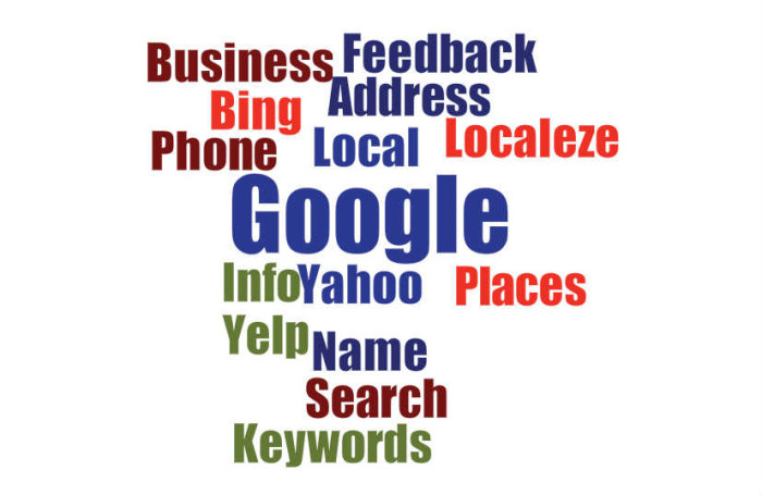
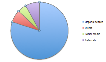 Think that chart above is close to the ideal? Look how much of the traffic is coming from Google. Great, huh? You couldn’t be more wrong…
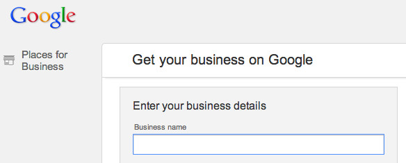
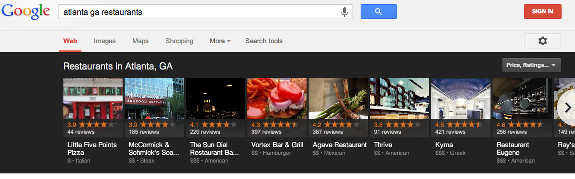

 Tech tips is planned as a regular series, to help small business owners make more efficient use of technology.